+506 2216 0222
opsaa@iica.int

Description
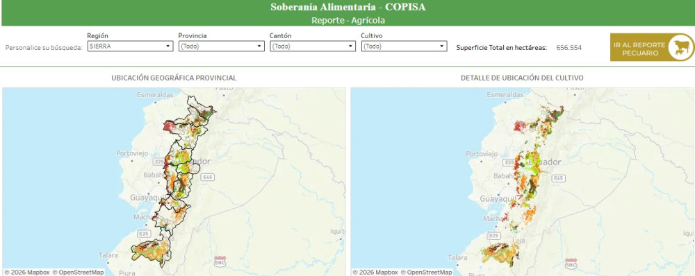
Food sovereignty maps section of Ecuador's Public Agricultural Information System (SIPA), part of its food sovereignty block and complemented by an indicators page and a dynamic dashboard on the topic. SIPA publishes agricultural statistics, bulletins, reports, prices, the National Agricultural Census (RENAGRO) and a geoportal with a geographic viewer and interactive maps, with provincial information on crop and livestock production, trade, agricultural credit and insurance, among other topics.
Institutions:
Resultados:
Sectors:
Thematic Areas:
Languages:
- Español
Beneficiaries:
- Agricultural producers
- Family agriculture
- Researchers
- Public institutions
Countries:
- Ecuador
Join to conversation
If you want to join and participate, press "I want to collaborate"; if you dont yet have an account, press "Register".