+506 2216 0222
opsaa@iica.int


Description
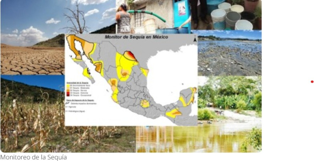
The Mexico Drought Monitor, which is integrated into the North American Drought Monitor, identifies the presence and intensity of drought across different geographical areas of Mexico. It is updated every two weeks and provides descriptions, maps, counts of affected municipalities, tables and charts showing the percentage of land under different drought categories at the national, state, hydrological-administrative region and basin council levels. Conditions are classified from abnormally dry to exceptional drought using indicators such as the Standardized Precipitation Index and the Streamflow Drought Index. The information supports the assessment of precipitation, streamflow, lake, reservoir and aquifer levels, as well as drought vulnerability, hazard and risk, providing inputs for water management and decisions concerning reservoir operations.
Institutions:
Authors:
- México: Comisión Nacional del Agua
Sectors:
Thematic Areas:
Instruments:
Languages:
- Español
Beneficiaries:
- Public institutions
Countries:
- Mexico
Join to conversation
If you want to join and participate, press "I want to collaborate"; if you dont yet have an account, press "Register".