+506 2216 0222
opsaa@iica.int

Description
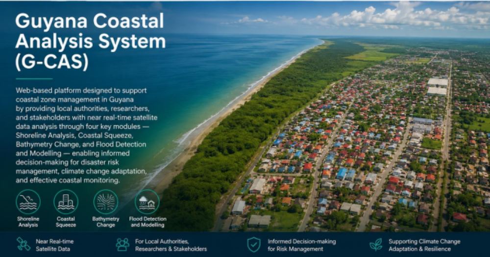
It is a web-based platform designed to support coastal zone management in Guyana. It provides local authorities, researchers, and stakeholders with near real-time satellite data analysis through four key modules: Shoreline Analysis, Coastal Squeeze, Bathymetry Change, and Flood Detection and Modelling
Institutions:
Authors:
- Temitope D. Timothy Oyedotun, Ate Poortinga, Karis Tenneson, M. Warizmi Wafiq, Weraphong Suaruang, Andréa Puzzi Nicolau, Esan A. Hamer, Gordon A. Nedd and Helene Burningham
Sectors:
Thematic Areas:
Instruments:
Languages:
- English
Beneficiaries:
- Public institutions
- Producer organizations (cooperatives, etc.)
- Researchers
Countries:
- Guyana
Join to conversation
If you want to join and participate, press "I want to collaborate"; if you dont yet have an account, press "Register".