+506 2216 0222
opsaa@iica.int


Description
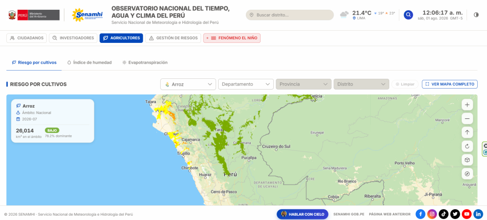
Digital tool of Peru’s National Service of Meteorology and Hydrology that provides geospatial information on potential agroclimatic risk levels for different crops in the country’s main production areas. The scenarios are developed using temperature and precipitation forecasts and take into account crop exposure based on the location of crops monitored through the phenological network, as well as their vulnerability according to their development stage. The information is updated periodically and supports the early identification of climate conditions that could affect crops of economic and food-security importance. The resource supports agricultural planning, loss prevention and decision-making by farmers, public authorities, specialists, organisations and institutions linked to the agricultural sector.
Institutions:
Resultados:
Sectors:
Instruments:
Languages:
- Español
Beneficiaries:
- Family agriculture
- Public institutions
- Researchers
- Agricultural producers
Countries:
- Peru
Join to conversation
If you want to join and participate, press "I want to collaborate"; if you dont yet have an account, press "Register".