- Atalaya-Marin N., Sanchez-Fuentes T., Gonas M., Tineo D., Taboada-Mitma V.H., Cabrera-Hoyos H., Cruz-Luis J.C., Ganoza-Roncal J.J., Gomez-Fernández D.
+506 2216 0222
opsaa@iica.int


Description
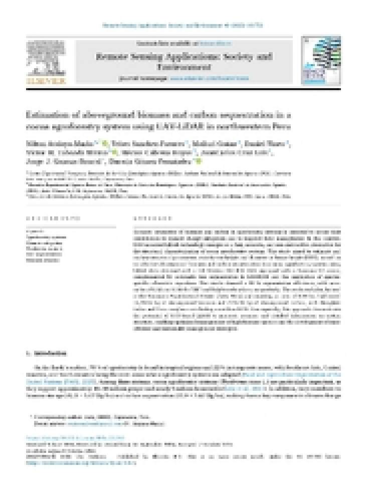
Peer-reviewed scientific article that applies UAV-mounted LiDAR (DJI Matrice 350 RTK with Zenmuse L2 sensor), automatic tree segmentation, and species-specific allometric equations to estimate aboveground biomass and carbon stocks in a 0.58-ha cocoa (Theobroma cacao L.) agroforestry plot at the Yanayacu Experimental Center (Jaén, Cajamarca). It reports 93.88% segmentation accuracy and 15,492.5 kg of biomass / 7,746.25 kg of carbon, positioning UAV-LiDAR as a fast, non-destructive tool for structural monitoring and climate-change mitigation assessment.
Authors:
Resultados:
Sectors:
Thematic Areas:
Instruments:
Languages:
- English
Beneficiaries:
- Public institutions
- Researchers
- Agricultural producers
Countries:
- Peru
Join to conversation
If you want to join and participate, press "I want to collaborate"; if you dont yet have an account, press "Register".