+506 2216 0222
opsaa@iica.int
Description
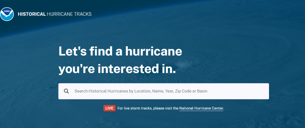
This interactive mapping tool is used to view, analyze, and share track data from the NOAA National Hurricane Center HURDAT2 and NOAA National Centers for Environmental Information IBTrACS data sets
Institutions:
Resultados:
Sectors:
Thematic Areas:
Languages:
- English
Beneficiaries:
Countries:
- World (aggregate)
Join to conversation
If you want to join and participate, press "I want to collaborate"; if you dont yet have an account, press "Register".